Bangalore Metro Pink Line 2027: Route Map, 18 Stations & Opening Date

Complete guide to Namma Metro Pink Line (Reach 6): 21.38 km Kalena Agrahara to Nagawara route, 12 underground stations, MG Road & Jayadeva interchanges, fares, and commissioning timelines.

GBy GST Munshi Urban Mobility & Infrastructure Desk•Published: Nov 18, 2026•16 min read•43.4K views•1 reading now•4.9(43.4K)
Verified against Official Govt Circulars & Statutes
4.9
43.4K Verified Reader Ratings•98.4% Helpful Guide Score
Audited & Verified Guide
Share
Bangalore Metro Pink Line 2027: Route Map, 18 Stations & Opening Date
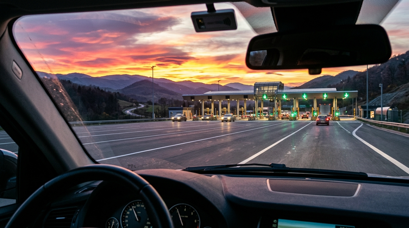
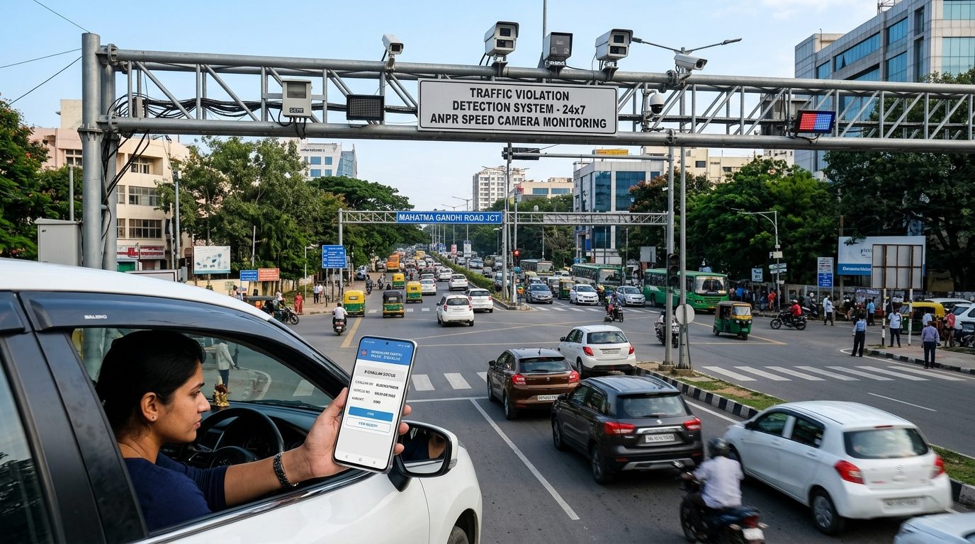
AI Generated Image
43.4K views•1 live
Infrastructure, Railways & Public Transit — BMRCL Phase 2 Reach 6 ManualAI-Generated Editorial Illustration
Read in Your Regional Language:
Quick Answer & Key Takeaways

What is the Bangalore Metro Pink Line route, station list, and expected opening date in 2026–2027?

The Bangalore Metro Pink Line (Reach 6 of Phase 2) is a 21.38 km mass transit corridor connecting Kalena Agrahara (Bannerghatta Road) to Nagawara, comprising 18 stations: 6 elevated stations (7.5 km) and 12 underground stations (13.88 km). Key interchange hubs include Jayadeva Hospital (Yellow Line), MG Road (Purple Line), and Nagawara (Blue Line Airport Corridor). Commercial commissioning is scheduled in phased milestones across 2026–2027, cutting end-to-end travel time from 2 hours in peak surface road traffic down to just 38 minutes on the metro with fares ranging between ₹10 and ₹60.
Route Corridor: 21.38 km connecting Kalena Agrahara (Bannerghatta Road) to Nagawara
Station Breakdown: 18 total stations (6 elevated and 12 continuous underground stations)
Major Interchanges: MG Road (Purple Line), Jayadeva (Yellow Line), and Nagawara (Blue Airport Line)
Travel Time Benefit: Slashes journey time from 100+ minutes in road traffic down to 38 minutes
Distance Fares: Standard BMRCL slabs between ₹10 and ₹60 with a 5% discount on Smart Cards & QR tickets

Namma Metro Pink Line Fare & Travel Time Calculator (2027)

Simulate exact station-to-station fares, travel duration, and traffic time savings.

Key Interchange Hubs on Pink Line:

• Jayadeva Hospital: Multi-tier interchange with the Yellow Line (RV Road to Bommasandra/Electronic City).

• MG Road: Underground interchange with the Purple Line (Challaghatta to Whitefield).

• Nagawara: Major terminus interchange with the Blue Line (Airport Line to KIA Kempegowda Airport).

Trip Journey Summary
17 Stations (21.4 km)
₹57
BMRCL Smart Card / QR discounted fare (Standard: ₹60)
Estimated Metro Travel Time:39 Minutes
Surface Road Driving Time (Peak):~118 Minutes
Net Time Saved by Metro:+79 Minutes per trip
Route Topology:Elevated → Underground Interchange
Transit Advisory: Pink Line Reach 6 directly links Bannerghatta Road IT corridors with MG Road CBD and Manyata Tech Park, eliminating notorious traffic chokepoints at Dairy Circle and Shivaji Nagar.

Complete 18-Station Directory: Namma Metro Pink Line (Reach 6)

Official BMRCL station alignment, construction typology, interchanges, and landmark connectivity.

#Station NameTypeInterchanges & ConnectivityKey Landmarks Served
1Kalena AgraharaElevatedFeeder Bus / AutoBannerghatta Road, Meenakshi Mall
2HulimavuElevatedFeeder Bus / AutoRoyal Meenakshi Temple, Hulimavu Gate
3IIM BangaloreElevatedFeeder Bus / AutoIIM-B Campus, Bilekahalli Junction
4JP Nagar 4th PhaseElevatedFeeder Bus / AutoDollars Colony, Vega City Mall
5Jayadeva HospitalElevated InterchangeMajor Multi-Tier InterchangeYellow Line Junction, Cardiac Institute
6TavarekereElevatedFeeder Bus / AutoBTM 1st Stage, Forum South Bangalore
7Dairy CircleUndergroundFeeder Bus / AutoNIMHANS, Christ University, Dairy Gate
8LakkasandraUndergroundFeeder Bus / AutoWilson Garden, KH Road
9Langford TownUndergroundFeeder Bus / AutoRichmond Town, Hockey Stadium
10Rashtriya Military SchoolUndergroundFeeder Bus / AutoJohnson Market, Hosur Road
11MG RoadUnderground InterchangeMajor Multi-Tier InterchangePurple Line Interchange, Brigade Road, CBD
12Shivaji NagarUndergroundFeeder Bus / AutoShivaji Nagar Bus Terminus, Commercial Street
13Cantonment Railway StationUndergroundFeeder Bus / AutoBengaluru Cantonment Railway Station (SWR)
14Pottery TownUndergroundFeeder Bus / AutoBenson Town, Frazer Town
15Tannery RoadUndergroundFeeder Bus / AutoRichards Town, Tannery Road Market
16VenkateshapuraUndergroundFeeder Bus / AutoKadugondanahalli, Arabic College
17KadugondanahalliUndergroundFeeder Bus / AutoNagawara Main Road, HBR Layout
18NagawaraUnderground InterchangeMajor Multi-Tier InterchangeBlue Line (Airport Metro) Interchange, Manyata Tech Park

5-Step Standard Operating Procedure: How to Use WhatsApp & Namma Metro QR Ticketing

Skip physical token ticket queues with instant digital smartphone ticketing.

1

Save Official BMRCL WhatsApp

Save BMRCL's official chatbot number (+91 81055 56677) on your phone and send a simple "Hi" message on WhatsApp.

2

Select Origin & Destination

Choose "Buy Ticket" from the menu. Select your boarding station on the Pink Line and your destination station across the network.

3

Pay via UPI with 5% Discount

Complete the digital payment directly through any UPI app (GPay, PhonePe, Paytm). An automated 5% fare rebate is applied.

4

Scan QR Code at AFC Gates

Receive your high-contrast QR ticket on WhatsApp. Hold your phone screen over the Automatic Fare Collection (AFC) scanner to open the barrier.

5

Exit Within 120 Minutes

Scan out at your destination exit gate. Remember that BMRCL rules enforce a maximum stay limit of 120 minutes inside the paid metro area.

Video Tutorial: Bangalore Metro Pink Line Route Map, Underground Stations & Opening Status
Watch on YouTube
Bangalore Metro Pink Line Route Map, Underground Stations & Opening StatusYouTube

Affiliate Disclosure:

As an Amazon Associate, GST Munshi earns from qualifying purchases made through links on this website. When you click on product links and make a purchase, we may receive a small affiliate commission at no extra cost to you. All prices, discounts, and availability are subject to change by respective sellers.
Advertisement
Share
G

GST Munshi Urban Mobility & Infrastructure Desk is a specialized editorial research unit at GST Munshi comprising Chartered Accountants, tax litigators, commercial bankers, and policy analysts dedicated to verifying Indian statutory circulars (CBIC, CBDT, RBI, IRDAI, and Ministry Gazettes) into actionable guides.

Recent Guides by GST Munshi Urban Mobility & Infrastructure Desk:

Questions & Discussion

0 Comments

Have a question or feedback about Bangalore Metro Pink Line 2027: Route Map, 18 Stations & Opening Date? Ask below. Dedicated discussion thread for this page.

Leave a Comment or Ask a Question
Spam Protected (UGC nofollow) Email is 100% private
All submitted hyperlinks automatically receive rel="nofollow ugc" tags. Zero do-follow backlinks.0 / 2,000

Loading live discussions...

Related Articles

All Guides

More in Finance

View All Finance
100% Free Starter Plan • No Credit Card Required

Ready to Simplify Your GST Billing & Accounting?

Join 10,000+ Indian retailers and SMEs who create invoices, print thermal receipts, and export GSTR-1 in seconds.

Instant WhatsApp Invoice Sharing2" & 3" POS Thermal PrintingOne-Click GSTR-1/3B Govt Exports