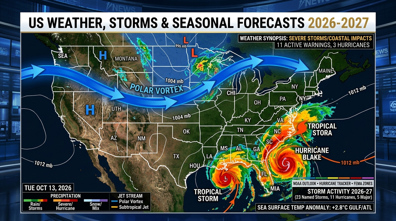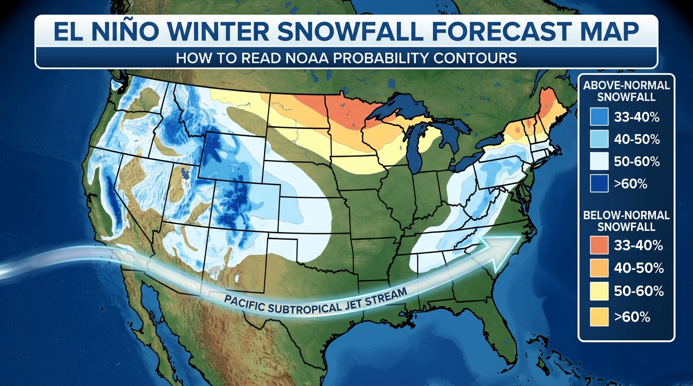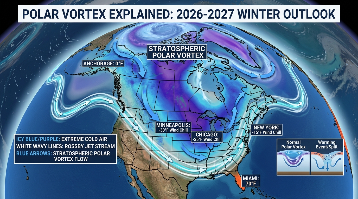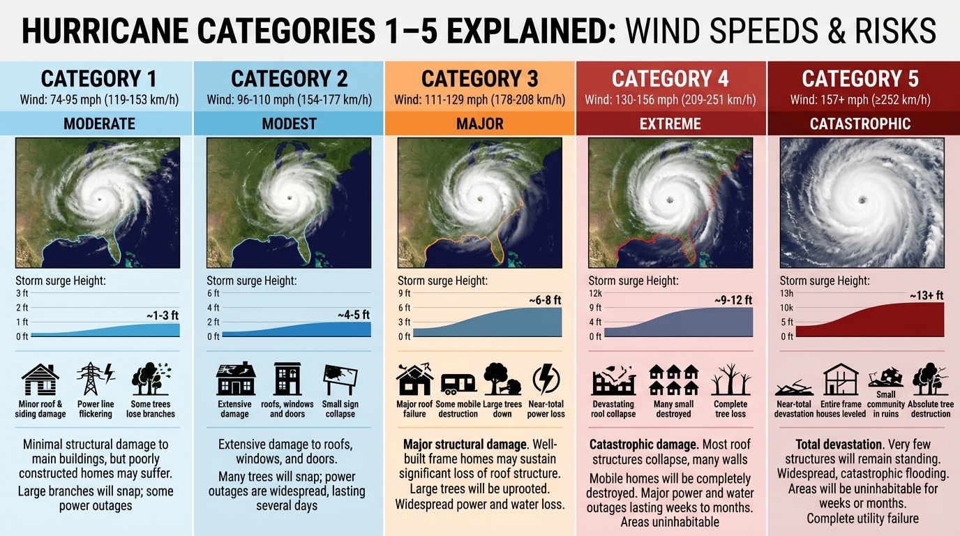
When is the 2027 Atlantic Hurricane Season, what are the 2027 storm names, and where do you check official updates?
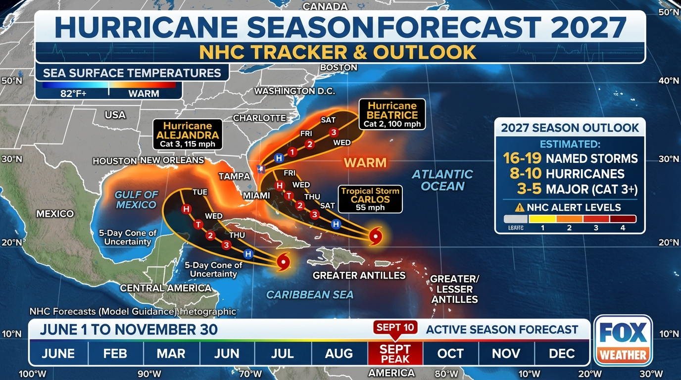
The 2027 Atlantic Hurricane Season officially runs from June 1 through November 30, 2027 (while the Eastern Pacific season begins earlier on May 15). Climatological activity peaks sharply between August 20 and October 15, centered on September 10. Official 6-hour track cones, Tropical Weather Outlooks, and aircraft reconnaissance updates are published exclusively at nhc.noaa.gov.
2026–2027 US Seasonal Weather Outlook, Named-Storm Deductible & Flood Gap Calculator
Select your US meteorological region, Coverage A dwelling value, and wind/hurricane percentage deductible to model your 2026–2027 seasonal weather exposure and FEMA / NFIP coverage gap.
12027 Atlantic & Eastern Pacific Hurricane Season Dates and Climatological Peak
The official Atlantic basin hurricane season—covering the North Atlantic Ocean, the Caribbean Sea, and the Gulf of Mexico—runs annually from June 1 through November 30. In the Eastern North Pacific basin (extending from the west coast of Mexico and Central America out to 140°W longitude), the season begins two weeks earlier on May 15 and concludes on November 30. The NOAA baseline 30-year seasonal average (1991–2020) for the Atlantic basin is 14 named storms, 7 hurricanes, and 3 major hurricanes (Category 3, 4, or 5).
However, tropical cyclone risk is not distributed evenly across the six-month calendar. Roughly 78% of all Atlantic tropical storm days, 87% of Category 1 and 2 hurricane days, and an extraordinary 95% of all Major Hurricane (Category 3–5) days occur within the 10-week window between August 15 and October 24. The statistical climatological peak of the Atlantic hurricane season occurs on September 10, when equatorial Atlantic Sea Surface Temperatures (SSTs) exceed 82°F (28°C), mid-level Saharan dry air (the Saharan Air Layer) subsides, and vertical wind shear across the Caribbean and Main Development Region drops to its annual minimum.
Early-season storms in June and July typically form close to home in the Gulf of Mexico, the Western Caribbean, or along stalled frontal boundaries off the Southeast US coast, whereas August and September feature long-track 'Cape Verde' hurricanes that originate from African Easterly Waves rolling off the coast of Senegal and Cabo Verde.
- Early Season (June 1 – July 31): Homegrown Gulf of Mexico and Southeast US coast formations; heavy rainfall is usually the primary threat.
- Peak Cabo Verde Window (August 15 – September 30): Long-track Category 3–5 major hurricanes crossing the Lesser Antilles, Caribbean, Gulf, and US East Coast.
- Late Season Secondary Peak (October 1 – November 30): Western Caribbean and Gulf of Mexico formations curving northeastward toward Cuba, Florida, and the Carolinas.
2Official 2027 Atlantic Hurricane Names (WMO Rotating Roster & Retired Replacements)
Tropical cyclones in the Atlantic basin are named by the National Hurricane Center using six rotating alphabetical lists maintained by the World Meteorological Organization (WMO) Regional Association IV Hurricane Committee. The 2027 list is the modernized version of the 2021 roster—Except that destructive 2021 storms **Ida** (which caused $75+ billion in damage across Louisiana and the Northeast) were permanently retired by the WMO and replaced with **Imani** for 2027.
The complete 21-name 2027 Atlantic Tropical Cyclone Roster is: **Ana, Bill, Claudette, Danny, Elsa, Fred, Grace, Henri, Imani, Julian, Kate, Larry, Mindy, Nicholas, Odette, Peter, Rose, Sam, Teresa, Victor, and Wanda**. If an hyperactive season exhausts all 21 standard names, the WMO no longer uses the Greek alphabet (which was retired after the 2020 season due to public confusion between Zeta, Eta, and Theta); instead, NHC activates the official WMO Supplemental Atlantic Name List beginning with Adria, Braylen, Caridad, Deshawn, and Emery.
3Where to Check Official NHC Updates & How to Read the Forecast Cone Properly
During an active tropical threat, social media feeds often circulate raw, cherry-picked single deterministic computer model runs (such as a single 10-day GFS or ECMWF operational frame) showing extreme hypothetical scenarios. Institutional emergency managers rely exclusively on official National Hurricane Center (nhc.noaa.gov) products issued every 6 hours at 5:00 AM, 11:00 AM, 5:00 PM, and 11:00 PM EDT (with intermediate advisories every 2 to 3 hours when coastal watches or warnings are active).
When reading the NHC Track Forecast Cone, remember that the cone represents the probable path of the storm's **center** based on the previous 5 years of official NHC track errors— such that the center stays inside the cone roughly two-thirds (67%) of the time. It is NOT an impact cone: life-threatening storm surge, tropical-storm-force winds, and tornado-producing outer rainbands routinely extend 150 to 300 miles outside the white cone boundary. That is why NHC's upgraded 2026–2027 experimental graphic overlays inland county wind watches and warnings directly onto the cone map.
2027 Atlantic Hurricane Season Month-by-Month Formation Zones & Official NHC Schedule
| Month (2027 Season) | Primary Formation Zone | Climatological Activity Share | Dominant Hazard Profile | Official Forecast Milestones |
|---|---|---|---|---|
| May (Pre-Season) | SW Atlantic / Bahamas / E. Pacific | ~2% of Total Activity | Subtropical lows & heavy coastal rain | May 15: E. Pacific Starts; Late May: NOAA Initial Outlook |
| June – July | Gulf of Mexico & Western Caribbean | ~11% of Total Activity | Slow-moving tropical storms & flash floods | June 1: Official Atlantic Start; CSU & Tropical Tidbits Updates |
| August | Main Development Region (MDR) & Gulf | ~26% of Total Activity | Rapidly intensifying Cape Verde hurricanes | Early August: NOAA Mid-Season Peak Outlook Update |
| September (Peak) | Entire Atlantic Basin, Caribbean & Gulf | ~42% of Total Activity (Peak Sept 10) | Category 3–5 Major Hurricanes & Storm Surge | Daily NOAA Hurricane Hunter (WP-3D / G-IV) Recon Flights |
| October – November | Western Caribbean, Central America & Gulf | ~19% of Total Activity | Fast-moving recurving hurricanes hitting FL/East Coast | Nov 30: Official End of Atlantic & Pacific Hurricane Seasons |
4-Step Official Hurricane Tracking & Pre-Season Preparation Workflow
Bookmark Official NHC & Local NWS Weather Forecast Office Portals
Use nhc.noaa.gov for 7-day Tropical Weather Outlooks (TWO), Key Messages, and Surge Inundation Graphics, paired with your local NWS office Hurricane Local Statement (HLS).
Read the NHC 'Arrival Time of Tropical-Storm-Force Winds' Map
Outdoor window boarding, boat securing, and evacuation travel must be 100% finished before tropical-storm-force winds (39 mph) arrive—not when the eye makes landfall.
Take Advantage of State Sales Tax Holidays for Hurricane Supplies
States like Florida and Texas offer disaster preparedness sales tax holidays in May/June/August for portable generators, tarps, batteries, and impact supplies.
Photograph Every Room & Upload Insurance Policies to Cloud Storage
Before June 1, record a 5-minute smartphone video walkthrough of your home's interior, roof, and serial-numbered appliances to accelerate post-storm FEMA and insurance claims.
Curated Expert Video Walkthroughs & Wall Street Briefings



Frequently Asked Questions (Verified Statutory Answers)
Q1: When does the 2027 hurricane season start and end?
The 2027 Atlantic hurricane season officially starts on June 1, 2027, and ends on November 30, 2027. The Eastern Pacific hurricane season starts on May 15, 2027, and also ends on November 30, 2027.
Q2: What is the peak month of hurricane season?
September is the peak month of the Atlantic hurricane season, with September 10 marking the exact statistical climatological peak when ocean temperatures are warmest and wind shear is lowest.
Q3: What are the first five hurricane names for 2027?
The first five Atlantic tropical storm and hurricane names on the official 2027 WMO roster are Ana, Bill, Claudette, Danny, and Elsa.
Q4: How does El Niño vs. La Niña affect the 2027 hurricane season forecast?
La Niña weakens upper-level westerly wind shear over the Caribbean and Atlantic, allowing more hurricanes to develop and intensify. El Niño increases vertical wind shear across the Atlantic, tending to tear apart developing storms while boosting Eastern Pacific hurricane activity.